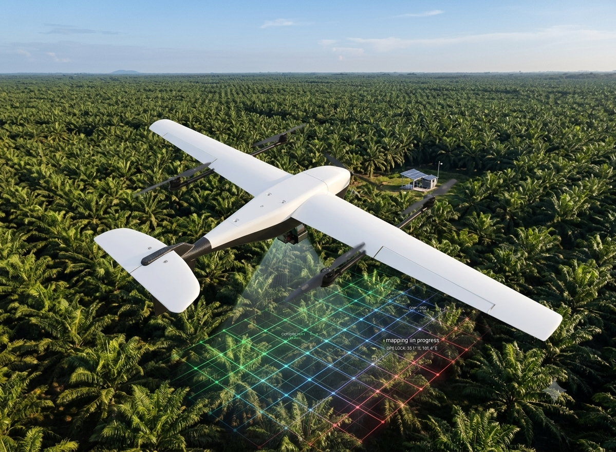
What can a single drone mapping mission actually deliver for a plantation operation? The numbers tell a compelling story. While traditional manual inspection methods require up to two weeks to cover a large estate, a completed drone mission captures the entire area in a single day with sub-centimeter accuracy.
Mapping 10,000 Hectares in One Day
For plantation operators managing thousands of hectares, the speed advantage alone justifies the investment. But the real value goes beyond speed. Drone-generated orthomosaics are immediately ready for GIS import, overlaid with IoT sensor networks, water management infrastructure maps, and historical land use data in the Avirtech Biota platform.
Key Deliverables from a Single Mission
Orthomosaic Maps: Sub-centimeter accuracy imagery covering the entire survey area, stitched into a single georeferenced view.
Digital Elevation Models (DEM): Topographic data for drainage planning, erosion monitoring, and flood risk assessment.
3D Terrain Reconstruction: Visual models for infrastructure planning, road optimization, and plantation layout design.
Volume Calculations: Stockpile and landform measurements for earthworks planning and resource estimation.
Change Detection: Comparing current data with previous surveys reveals vegetation health shifts, encroachment, and infrastructure changes over time.
From Maps to Decisions
A drone map by itself is a picture. When that map is integrated into the Avirtech Biota dashboard alongside IoT sensor data — water levels, weather readings, soil moisture — it becomes an operational intelligence tool. Managers can correlate visual changes on the ground with sensor readings, identify drainage issues before they become crises, and verify compliance across their entire estate from a single platform.
One flight day. Months of fragmented field reports replaced. And data that actually drives decisions, not just fills filing cabinets.
Related blog posts
Products⎯Aug 21, 2026
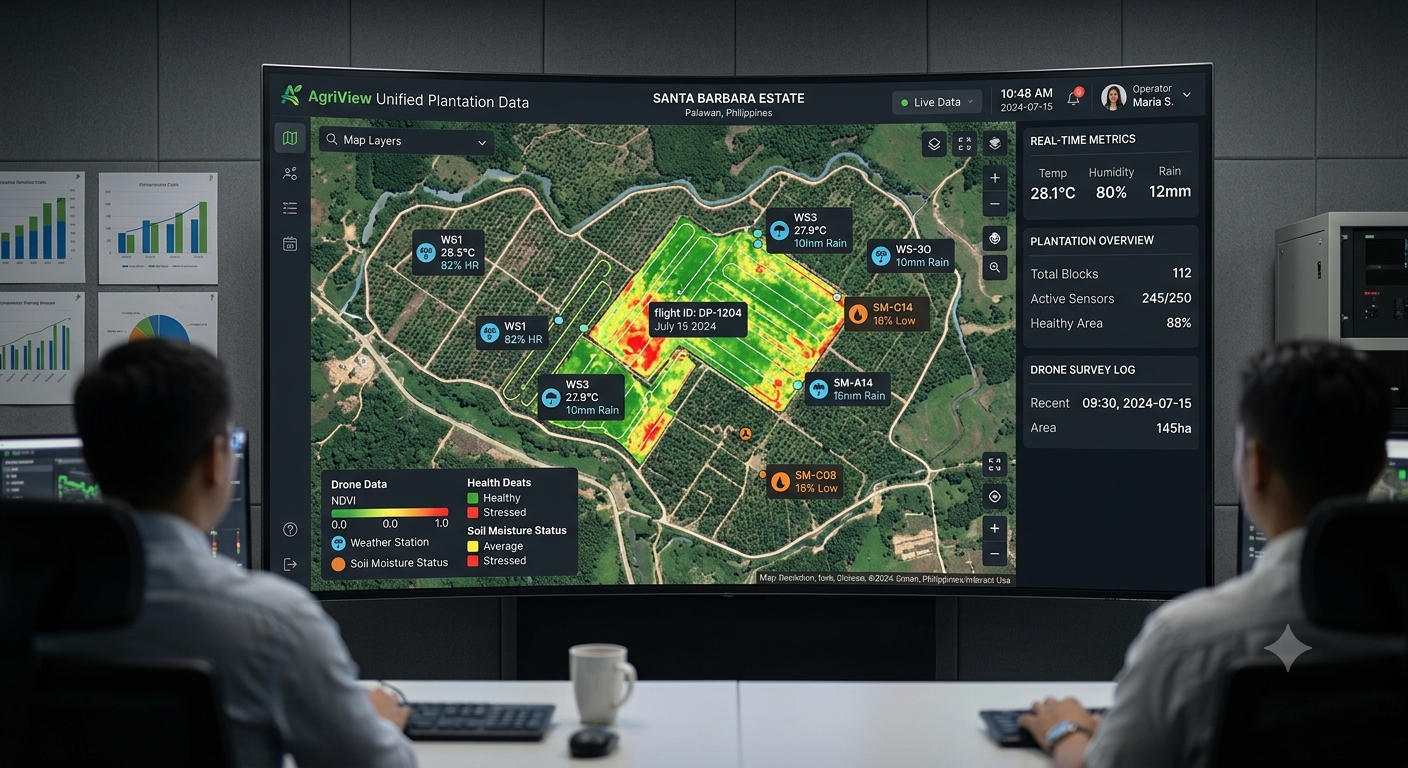
Closing the Visibility Gap: How Biota Connects Disparate Plantation Data Streams
Products⎯Jun 24, 2026
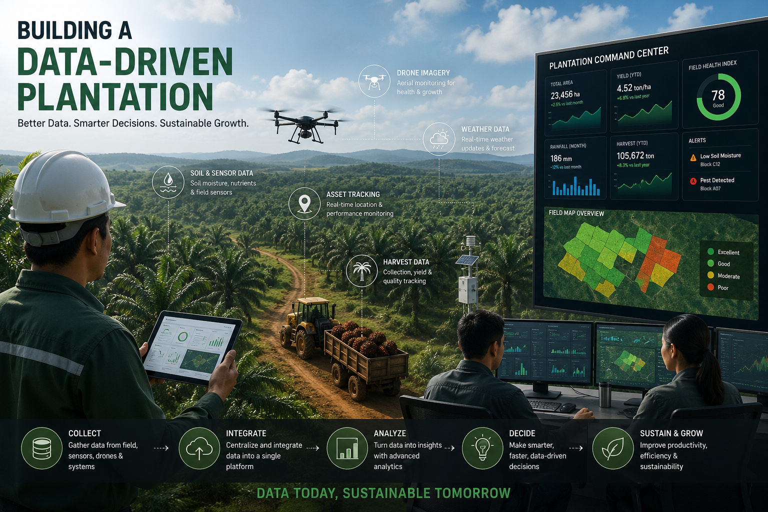
From Data to Decisions: A Thread on Building a Data-Driven Plantation Operation
Products⎯Apr 25, 2026
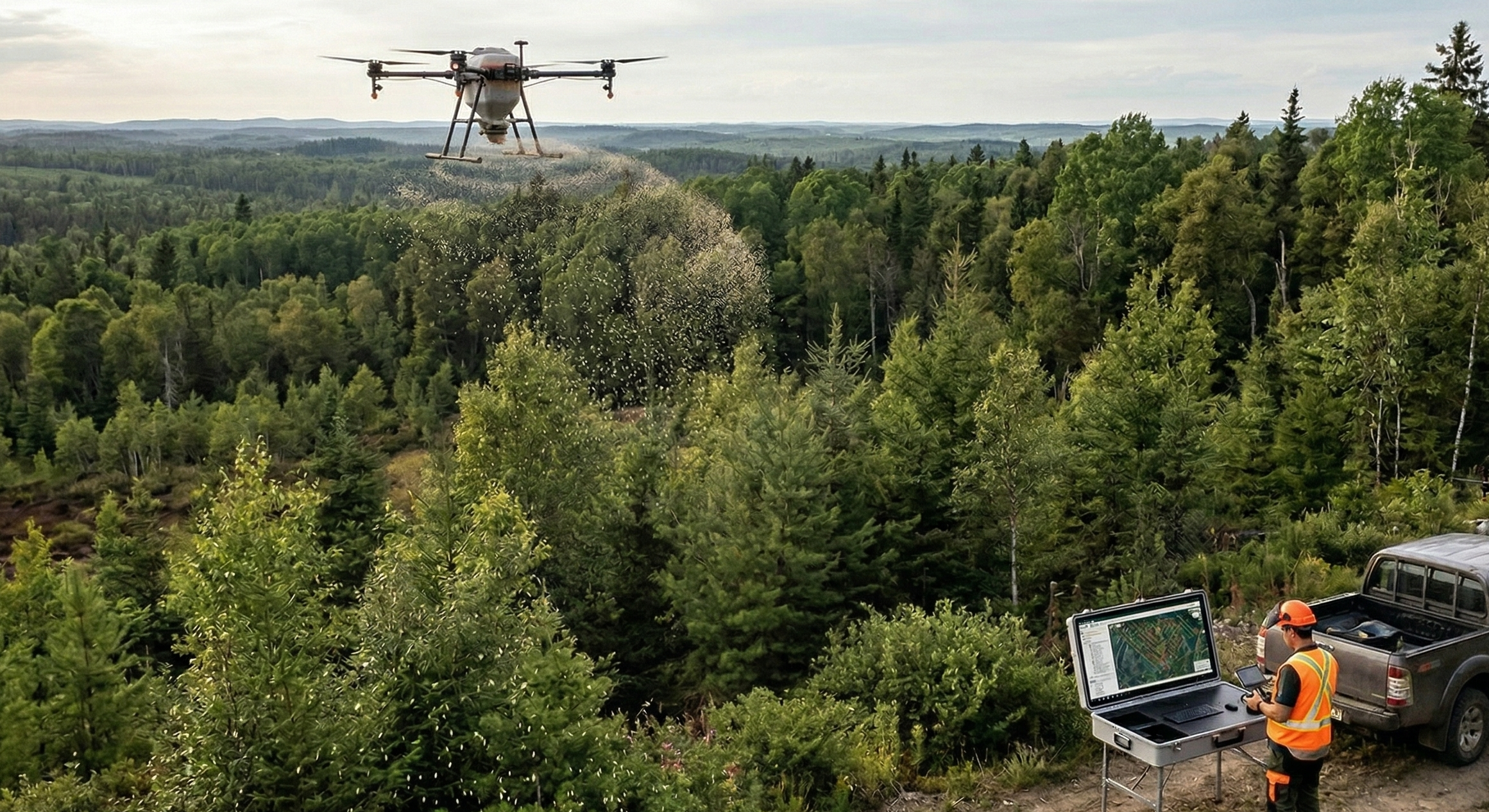
Improving Fertilizer Distribution Efficiency in Forestry Environments Using High-Capacity Aerial Spreading Systems